The first ever maps of the shallow groundwater of the Fens of eastern England show that saltwater is relatively close beneath the surface, meaning that if sea levels rise, then salt content would affect the ability of the area to grow food.
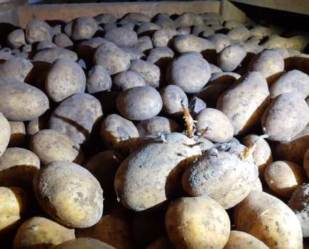
The eastern English Fens collectively produce 11% of the agri-food economy from just 4% of the agricultural land covering the entire country.
With flooding being the UK’s most serious natural hazard, low-lying marsh and wetland areas such as the Fens are at high risk of soil salination.
This stratigraphic map of the shallow groundwater was collated by a team led by academics from the University of Lincoln, after taking electrical soundings to assess the depth at which saline water lies beneath the land.
The work revealed that even six miles from the coast, the depth of this salinity is only a few meters beneath the surface.
Pathway to salinisation
“The work shows that the groundwater could be a pathway to salinisation of these critical lands either via sea-level rise or over-abstraction of the water,” says Dr Daniel Magnone, project leader and deputy head of life and environmental sciences at the University of Lincoln.
“Such an outcome would be hugely damaging to farming businesses in the area and our next task is to predict how climate change will affect this and what level of water abstraction could be sustainably undertaken in the area.”
High cost per hectare
Previous work by the University of Lincoln demonstrated that salinisation of agricultural lands in the area would cost up to £5000/ha for every saline flood due to the drop off in yields of the high-value crops grown throughout the region.
The project maps the geology of the area by re-interpreting old cores, some of which date back to the 1880s. These new maps are part of wider EU Interreg funded work and will help the team predict the effects of climate change across the area from which solutions to protect the valuable agricultural land can be devised.